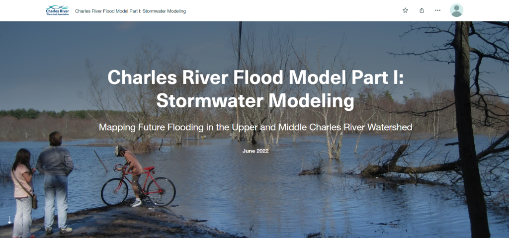
The Charles River Flood Model was developed for the upper and middle Charles River watershed, an area of approximately 280 square miles. It includes most of the watershed outside the highly urbanized areas of Boston, Cambridge, and Brookline. The two part Story Map includes an summary of stormwater modeling as well as nature based solutions to mitigate flood impacts.
Find the resources here: Part 1: Stormwater Modeling and Part 2: Nature-Based Solutions